Water
The draw they describe, and the paper that would prove it.
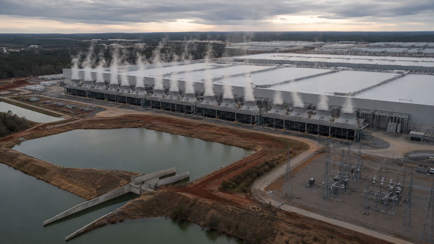
Cloverleaf describes closed-loop cooling drawing up to 100,000 gallons per day from the Pintlala Water System, framed as a one-time fill. That is the company’s own characterization of its own system.
The reason to ask for the executed contract instead of the summary is on the record one county over. For a data center at Hope Hull, the publicly stated figure was about 30,000 gallons per day. The contract obtained through an open-records request allocated about 150,000 gallons per day, plus roughly 90,000 gallons per day of wastewater that was never publicly disclosed at all. Different company, different project, and not a prediction about this one. It is the reason the paper matters more than the press release.123
Not disclosed for this site
- Initial fill volume and schedule
- Makeup water under peak Alabama heat and humidity
- Blowdown, fire-flow, and construction-period demand
- Wastewater volume, composition, and disposal